Learn more about the New Zealand Geographic digital resources now available to all Queenstown Lakes Library members.
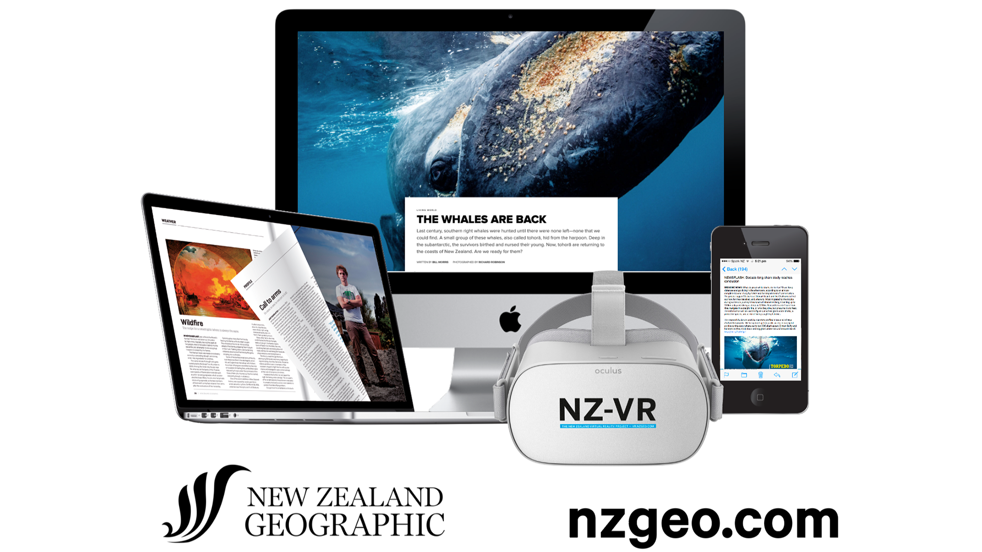
Read every story ever published by the NZGeo magazine, including the latest stories and digital-only content.
Use our NZGeo link, then verify your library number and pin/password to start browsing, searching, and reading content from the archives.
Optional: Opt-in to their newsletter which connects current news and events to background reading from their archive.
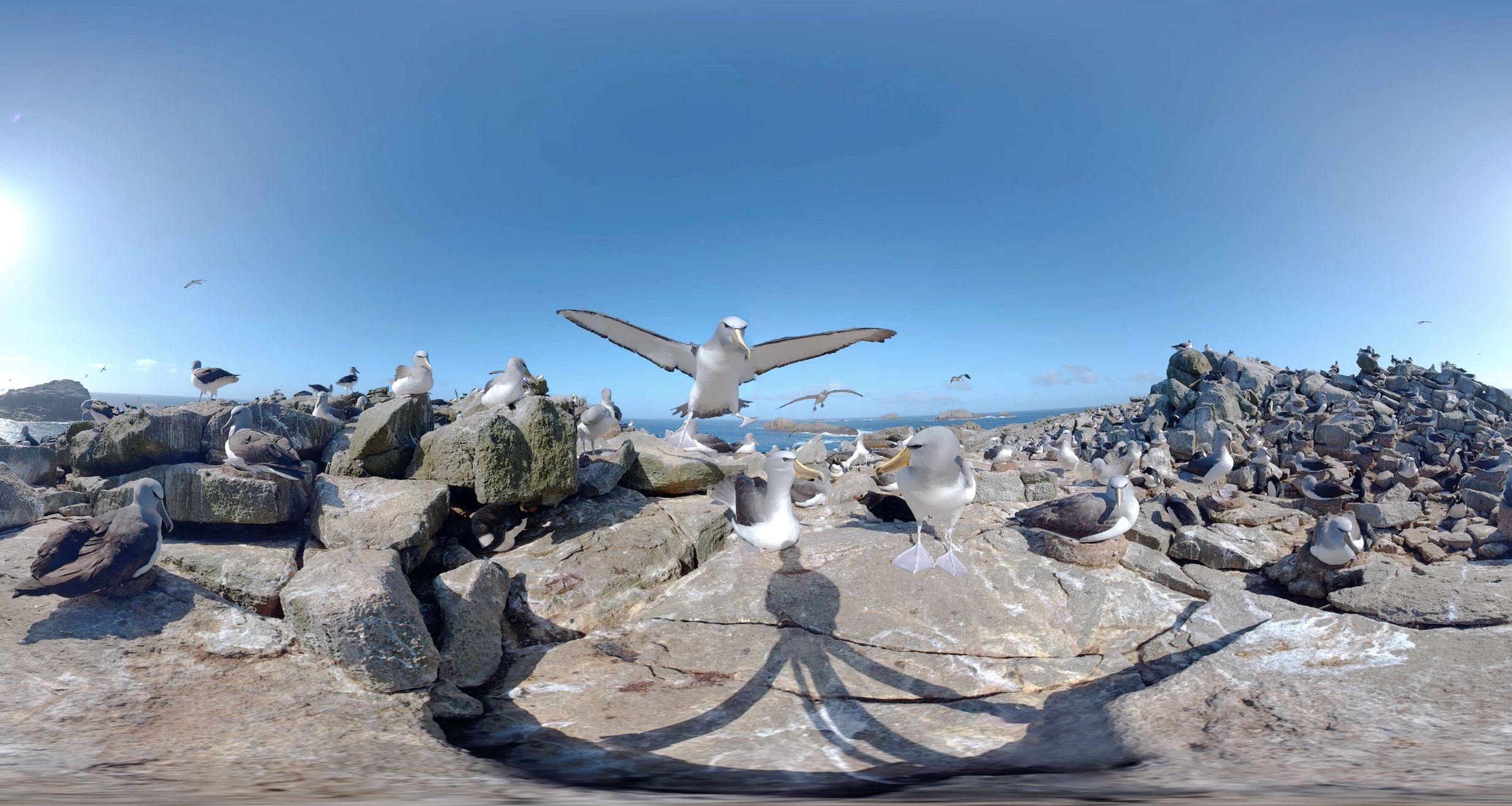
NZGeoVR has been in production since 2016 and features some 200 remarkable VR experiences from around NZ, including territories in in the tropics to the subantarctic to everywhere in between.
It works on desktop or mobile. On desktop you can grab and pan, and on mobile you can move the device around to see through the ‘magic window’.
Use our NZGeo link, then verify your library number and pin/password to start viewing.
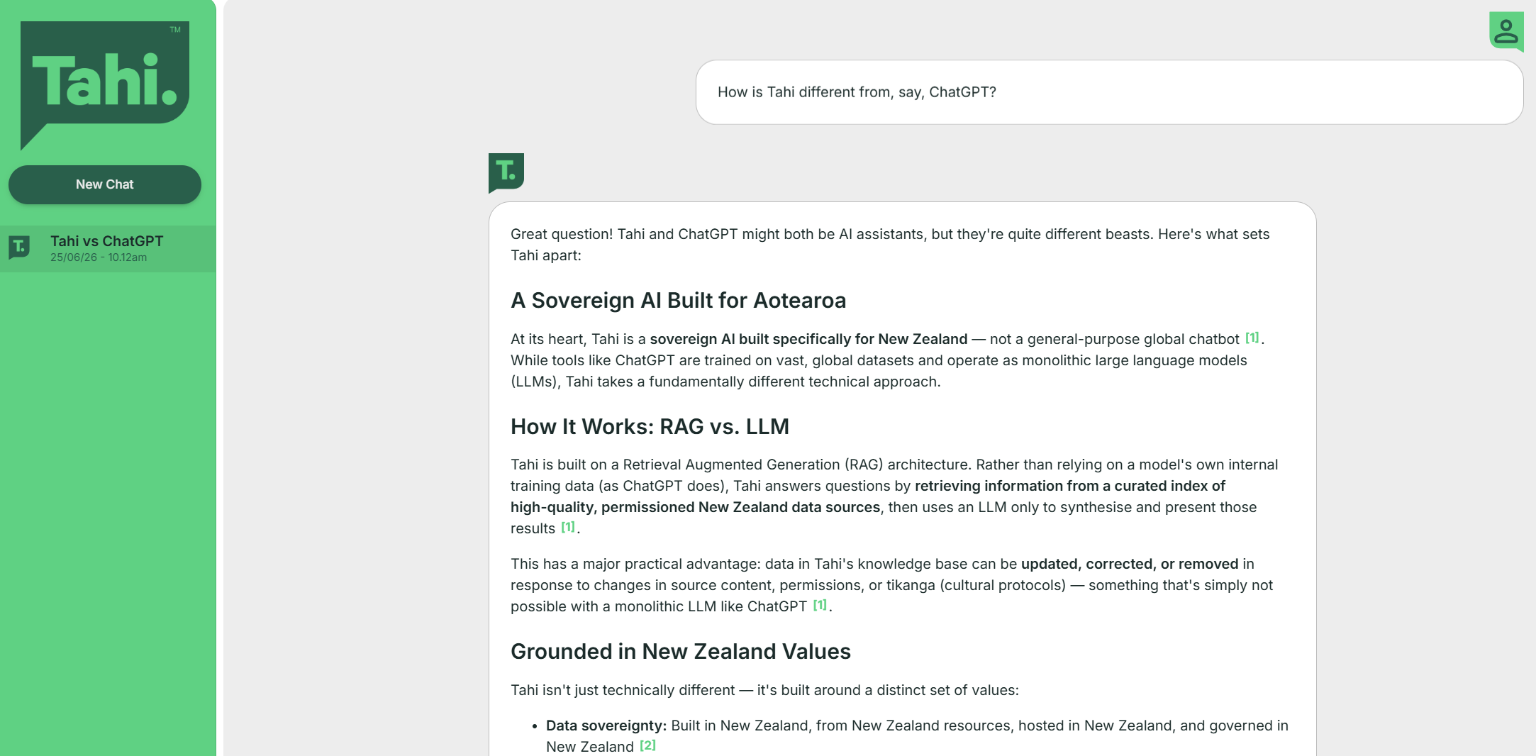
Ask almost anything related to Aotearoa, New Zealand with the NZGeo AI, Tahi.
Tahi is a reliable sovereign AI platform for Aotearoa, produced in partnership with RNZ and the Ministry of Culture and Heritage drawing on the highest quality datasets and deploying appropriate guardrails.
Unlike international LLMs, NZGeoAi has been constructed in collaboration with data owners, tangata whenua and public agencies, ensuring ownership and tīkanga are respected and upheld. The service has a familiar chat interface, but includes high-quality captioned images as well as text summaries—a richer, more complete experience for the user. Users can also click each component of the response to visit the original citation, adding an important layer of transparency.